
MetaStreet: Semi-Supervised Multimodal Learning for Street-Level Socioeconomic Prediction
Abstract
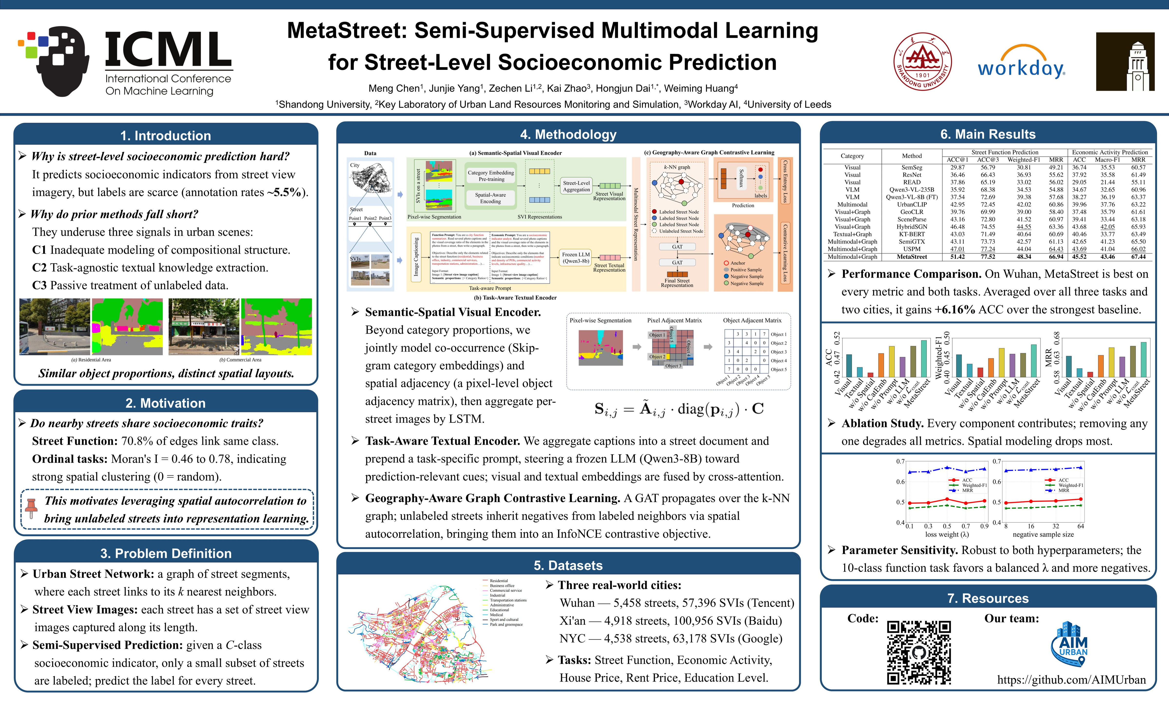
Predicting street-level socioeconomic indicators from street view imagery is fundamental to urban planning. Existing methods typically extract visual features via pretrained encoders and propagate information through graph-based learning, but they fail to fully exploit the structured, task-relevant, and label-efficient learning signals inherent in urban scenes. We propose MetaStreet, a semi-supervised multimodal framework with three components: (1) a semantic-spatial visual encoder that jointly models object co-occurrence and spatial adjacency at the semantic category level, (2) a task-aware textual encoder that steers LLMs toward prediction-relevant features via task-specific prompts, and (3) a geography-aware graph contrastive learning module that leverages spatial autocorrelation to extend contrastive supervision to unlabeled streets, enabling them to actively participate in representation learning. Experiments on two cities across three socioeconomic prediction tasks demonstrate that MetaStreet consistently outperforms state-of-the-art methods.
Lay Summary
Understanding the social and economic conditions of city streets can help cities make better decisions about planning, public services, and resource allocation. Street-level images contain useful clues, such as buildings, shops, roads, greenery, and other visible features, but it is difficult for computers to use this information reliably, especially when very few streets have been labeled by experts. This paper presents MetaStreet, a method that predicts street-level socioeconomic indicators from street-view images. It considers not only which objects appear in a street scene, but also how they are arranged. It also guides language models to focus on information relevant to each prediction task, and makes better use of nearby unlabeled streets by using the idea that neighboring streets often share similar socioeconomic characteristics. In experiments across cities in China and the United States, MetaStreet consistently outperforms existing approaches. It could help planners assess urban conditions at scale without costly manual surveys.